An easy 3km walk along the old track used by bullocks in the early days of Bruny Island logging. Start at the jetty at Alonnah and either have a car at the other end, or just retrace your steps.
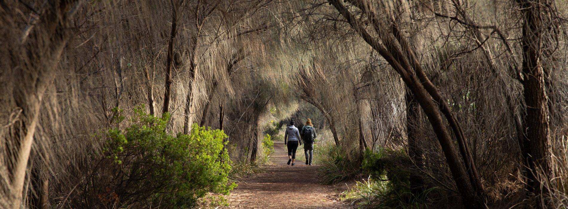
In the early years of settlement the foreshore track was the main link from Sheepwash Bay to Alonnah. The one hour return easy walk along the foreshore follows the old rock-walled carriageway located between the two previous jetty sites and passing some remains of early settlers’ occupation since the 1850s. Near Sheepwash Creek are remnants of a sawyers’ camp and several piles of stones remain near the track. Logs from the island were prepared in the bush for barging to the windjammers for export to the UK and South Africa. The track meanders through coastal bush, an area that would have originally been dry eucalypt forest. These forests are usually dominated by large eucalypts and a thick midstorey of sheoaks, boobialla and banksia, with a sparse understorey of saggs and native grasses. Alonnah is part of the Nuennone Aboriginal people’s name for the island – Lunawanna-alonna.
How to get there: Travel time from Sealink Bruny Island Ferry, Roberts Point – 30min (35.8 km)
Once disembarking Sealink Bruny Island Ferry, head south on Lennon Road, merging into Bruny Island Main Road, for 35.8km until you reach Alonnah. Drive past the School and Community Hall, then take a right turn onto Pontoon Road, beside the BBQ area. Park in the Pontoon Carpark, and start your walk here. Toilets are also located nearby.
Long sections of road on Bruny Island are unsealed, but are suitable for 2WD vehicles and bicycles.