Long walk along Cloudy Bay Beach up to the headland with fantastic views.
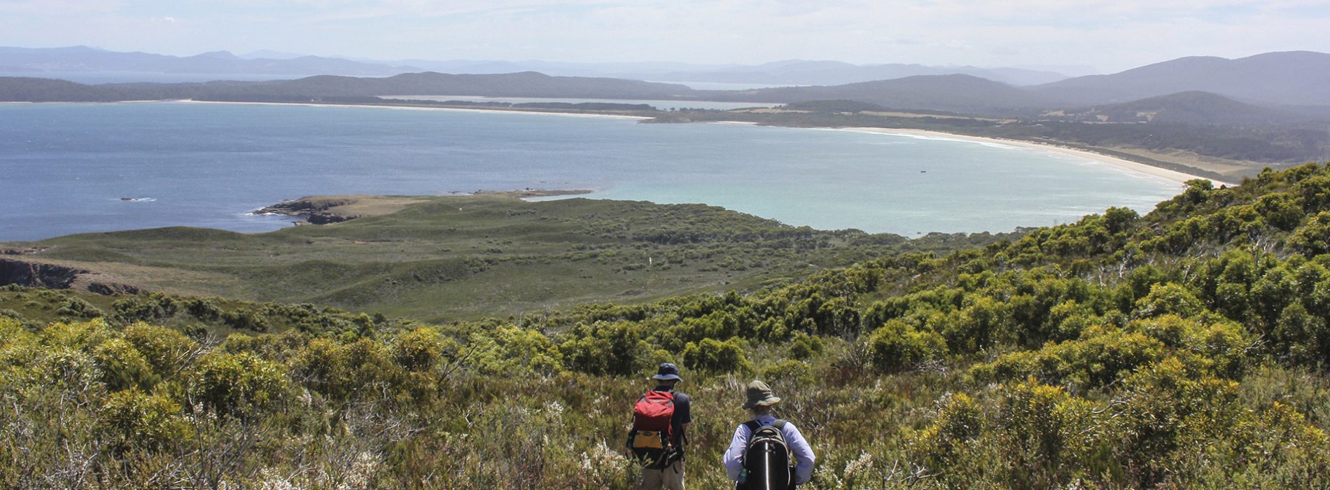
East Cloudy Head starts at the car park at Cloudy Bay, with a wonderful 3.5km stroll along the beach. The walking track follows a now closed 4WD track. At various points ascending the Head, fantastic views are seen back over Cloudy Bay, Cloudy Lagoon and beyond to the Channel and Southern Ranges. In places, one needs to force through overgrowing heath, so long sleeves and trousers may help to avoid scratches. After about 3km, fantastic views are seen out to the south into Pyramid Bay and the Friars. The track then sidles along East Cloudy Head until a junction is reached. The right fork leads out to expansive views to South East Cape, the Bruny Lighthouse and Southern Ranges, whilst the main track leads up to the trig point, with views in many directions, including (on a clear day) out to Pedra Blanca, some 35km south in the Great Southern Ocean. Return via the same route.
How to get there: Travel time from Sealink Bruny Island Ferry, Roberts Point – 51 min (52km)
Once disembarking Sealink Bruny Island Ferry, head south on Lennon Road, merging into Bruny Island Main Road, for 42km until you reach the T section at Lunawanna. Take the left turn, continuing onto Bruny Island Main Road, heading towards Cloudy Bay. Travel another 9km until you reach the Cloudy Bay carpark. Walk onto the beach to the left of the carpark to start your walk.
Long sections of road on Bruny Island are unsealed, but are suitable for 2WD vehicles and bicycles.
The map below marks the start of the walk.
Note: Clean dirt and mud from your boots before and after every bushwalk to prevent the spread of root rot. Please walk on the wet sand during spring and summer to protect nesting shorebirds, which lay their eggs amongst the beach debris.